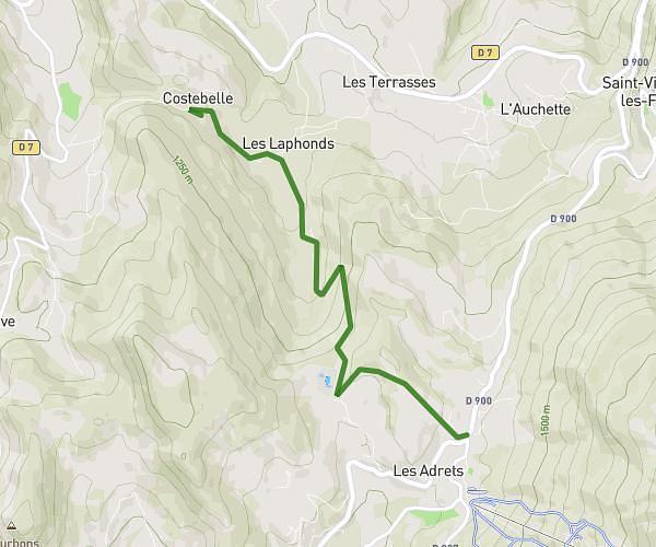
This walking route covers 1.826mi starting from Méolans-Revel, Alpes-de-Haute-Provence. The walk is a loop trail and returns to the trailhead. This walk is rated as easy, plan for about 45m to complete it. The route has an elevation gain of 656ft and an elevation loss of 666ft.
Rochecourbe
Route details
24:38/mi
Pace
184 kcal
Calories burned
Loop trail
Route type
3645ft
Min altitude
4124ft
Max altitude
Route profile
656ft
Elevation gain
666ft
Elevation loss
3645ft
Min altitude
4124ft
Max altitude
How to get there
Trailhead: 150 Chemin De Buissillon, 04340 Méolans-Revel, France
GPS coordinates of the trailhead: 44.41315, 6.52171 / 44°24'47'' N, 6°31'18'' E