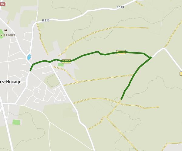
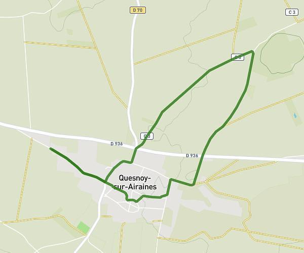
This running route covers 4.725mi starting from Raincheval, Somme. The run does not return to the trailhead and ends near 14 Rue De Puchevillers, 80600 Puchevillers, France. This run is rated as easy, expect about 51m to complete it. The route has an elevation gain of 348ft and an elevation loss of 344ft.
Raincheval
Route details
5.56mph
Speed
583 kcal
Calories burned
Point to point
Route type
338ft
Min altitude
456ft
Max altitude
Route profile
348ft
Elevation gain
344ft
Elevation loss
338ft
Min altitude
456ft
Max altitude
How to get there
Trailhead: 11 Rue De Puchevillers, 80600 Raincheval, France
GPS coordinates of the trailhead: 50.070033, 2.435412 / 50°4'12'' N, 2°26'7'' E