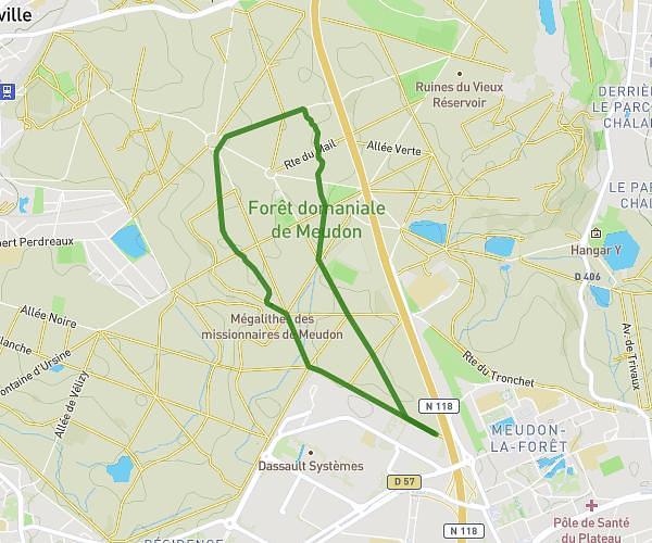
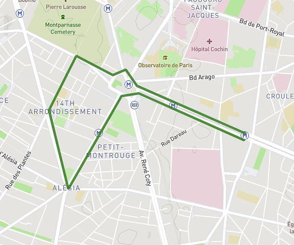
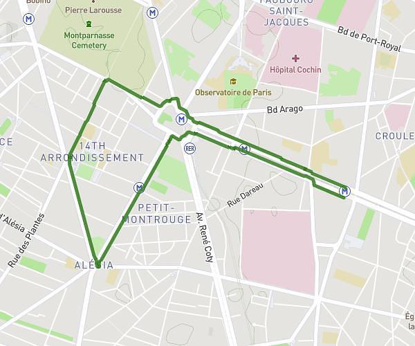
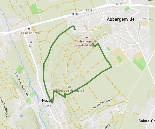
This running route covers 7.218mi starting from Élancourt, Yvelines. The run is a loop trail and returns to the trailhead. This run is rated as moderate, expect about 1h30m to complete it. The route has an elevation gain of 646ft and an elevation loss of 640ft.
Le grand
Route details
4.81mph
Speed
1029 kcal
Calories burned
Loop trail
Route type
390ft
Min altitude
587ft
Max altitude
Route profile
646ft
Elevation gain
640ft
Elevation loss
390ft
Min altitude
587ft
Max altitude
How to get there
Trailhead: 3 Villa Rembrandt Bugatti, 78990 Élancourt, France
GPS coordinates of the trailhead: 48.771708, 1.953995 / 48°46'18'' N, 1°57'14'' E