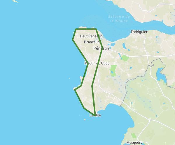
This running route covers 4.123mi starting from Férel, Morbihan. The run does not return to the trailhead and ends near 33 La Voute, 56130 Férel, France. This run is rated as easy, expect about 4h5s to complete it. The route has an elevation gain of 20ft and an elevation loss of 89ft.
Ferel
Route details
1.03mph
Speed
2745 kcal
Calories burned
Point to point
Route type
46ft
Min altitude
121ft
Max altitude
Route profile
20ft
Elevation gain
89ft
Elevation loss
46ft
Min altitude
121ft
Max altitude
How to get there
Trailhead: 19 Kerjubaud, 56130 Férel, France
GPS coordinates of the trailhead: 47.47825, -2.32972 / 47°28'41'' N, 2°19'46'' W