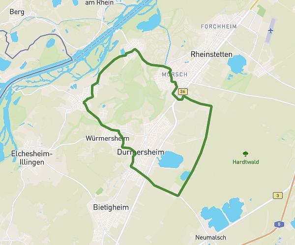
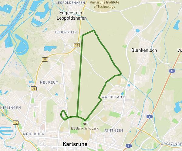
This running route covers 7.819mi starting from Leimersheim, Rhineland-Palatinate. The run is a loop trail and returns to the trailhead. This run is rated as hard, expect about 1h15m to complete it. The route has an elevation gain of 207ft and an elevation loss of 207ft.
Leimersheim Neupotz Otterbach Rheindamm
Route details
6.26mph
Speed
858 kcal
Calories burned
Loop trail
Route type
315ft
Min altitude
374ft
Max altitude
Route profile
207ft
Elevation gain
207ft
Elevation loss
315ft
Min altitude
374ft
Max altitude
How to get there
Trailhead: Leitmarstraße 9, 76774 Leimersheim, Germany
GPS coordinates of the trailhead: 49.126865, 8.349385 / 49°7'36'' N, 8°20'57'' E