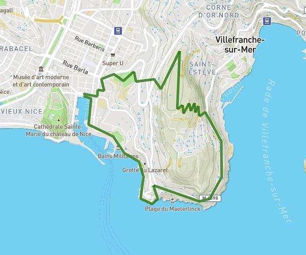
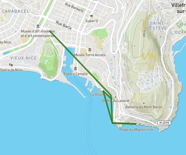
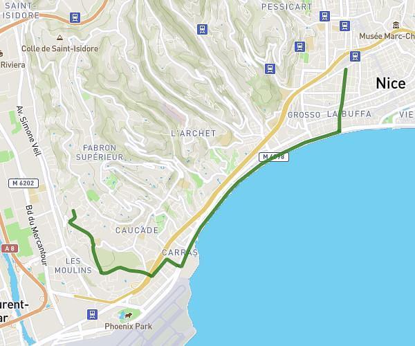
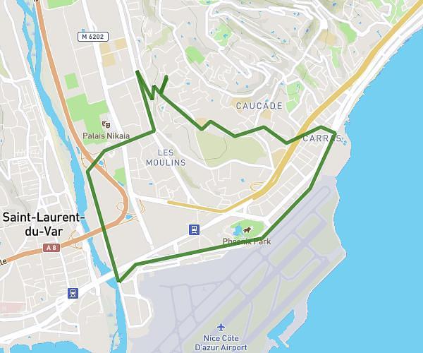
This running route covers 5.863mi starting from Menton, Alpes-Maritimes. The run does not return to the trailhead and ends near 38 Rue Des Soeurs Munet, 06500 Menton, France. This run is rated as moderate, expect about 2h to complete it. The route has an elevation gain of 62ft and an elevation loss of 30ft.
Marche
Route details
2.93mph
Speed
1372 kcal
Calories burned
Point to point
Route type
20ft
Min altitude
75ft
Max altitude
Route profile
62ft
Elevation gain
30ft
Elevation loss
20ft
Min altitude
75ft
Max altitude
How to get there
Trailhead: 1 Avenue Félix Faure, 06500 Menton, France
GPS coordinates of the trailhead: 43.773211, 7.49912 / 43°46'23'' N, 7°29'56'' E