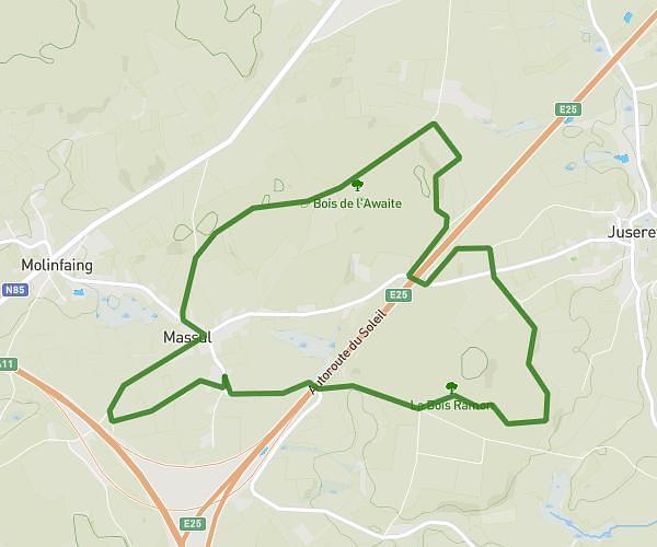
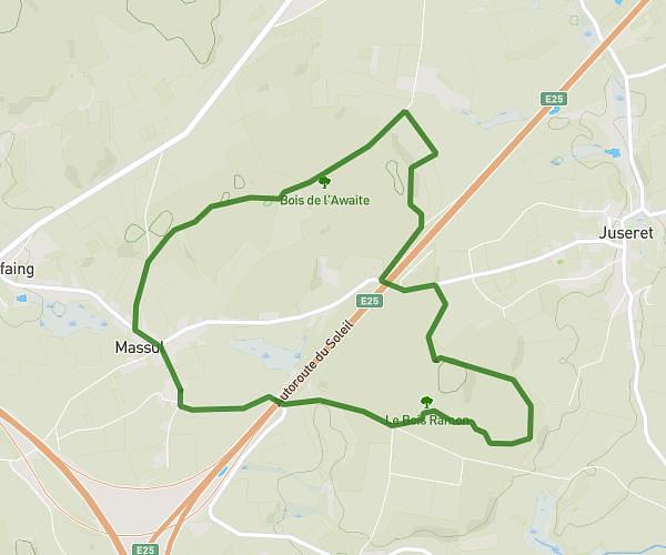
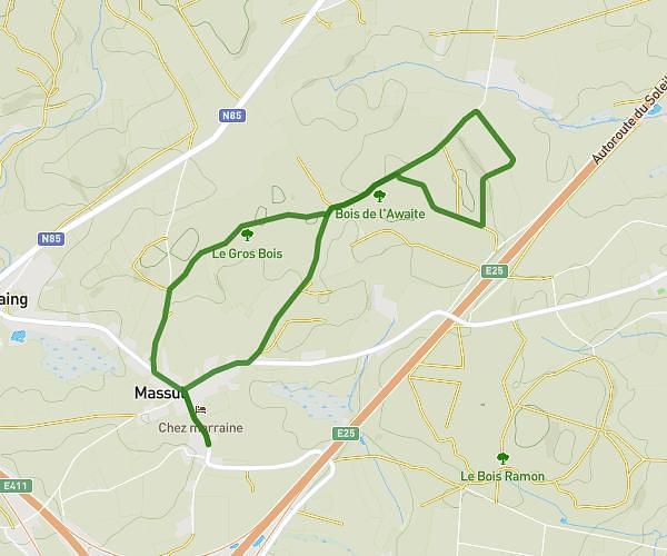
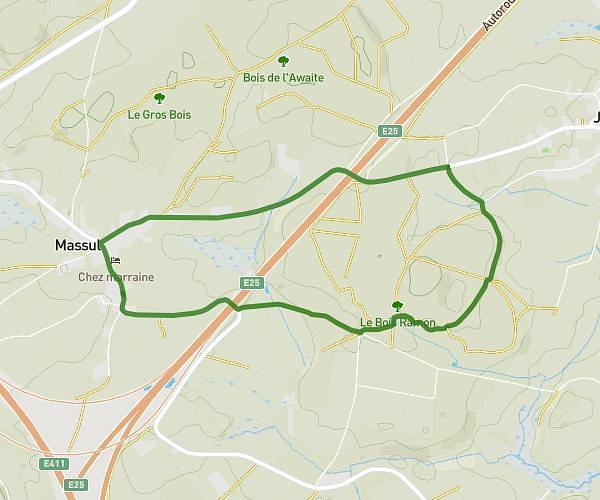
This walking route covers 0.306mi starting from Arlon, Luxembourg. The walk is a loop trail and returns to the trailhead. This walk is rated as easy, plan for about 5m to complete it. The route has an elevation gain of 43ft and an elevation loss of 43ft.
Ani
Route details
16:22/mi
Pace
20 kcal
Calories burned
Loop trail
Route type
1263ft
Min altitude
1276ft
Max altitude
Route profile
43ft
Elevation gain
43ft
Elevation loss
1263ft
Min altitude
1276ft
Max altitude
How to get there
Trailhead: Rue De Bastogne 67, 6700 Arlon, Luxembourg, Belgium
GPS coordinates of the trailhead: 49.688722, 5.811114 / 49°41'19'' N, 5°48'40'' E