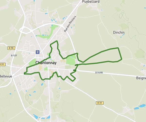
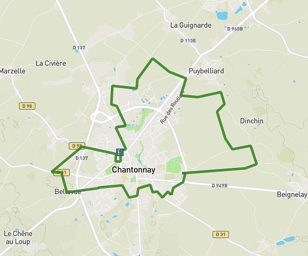
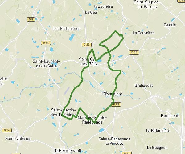
This running route covers 5.635mi starting from Moutiers-sur-le-Lay, Vendée. The run is a loop trail and returns to the trailhead. This run is rated as moderate, expect about 1h to complete it. The route has an elevation gain of 82ft and an elevation loss of 108ft.
Parcours moutiers 10km
Route details
5.64mph
Speed
686 kcal
Calories burned
Loop trail
Route type
30ft
Min altitude
138ft
Max altitude
Route profile
82ft
Elevation gain
108ft
Elevation loss
30ft
Min altitude
138ft
Max altitude
How to get there
Trailhead: 6 Route Des Ponts, 85320 Moutiers-sur-le-Lay, France
GPS coordinates of the trailhead: 46.555475, -1.159784 / 46°33'19'' N, 1°9'35'' W