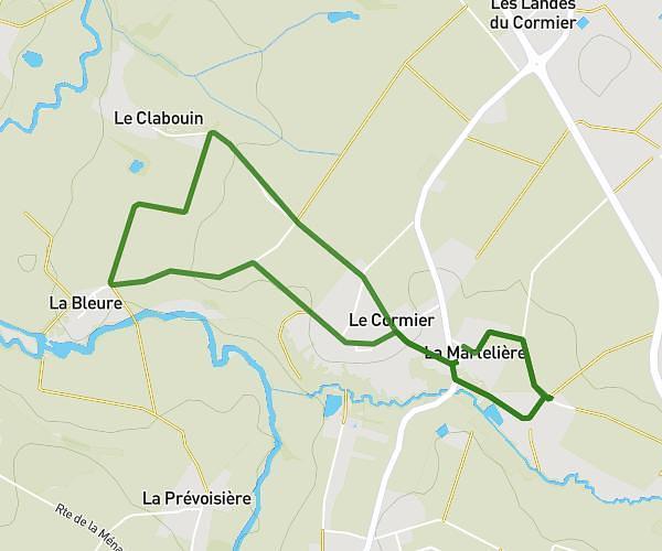
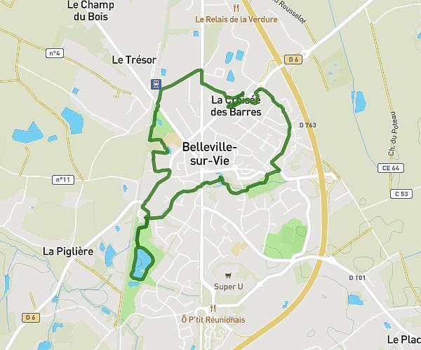
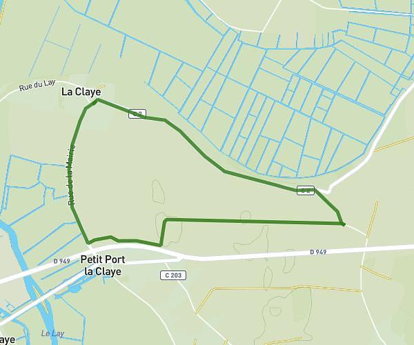
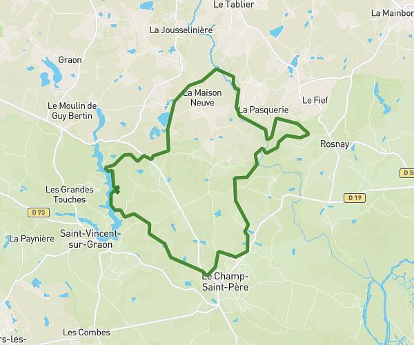
This running route covers 5.582mi starting from La Roche-sur-Yon, Vendée. The run does not return to the trailhead and ends near 80 Impasse Philippe Gozola, 85000 La Roche-sur-Yon, France. This run is rated as moderate, expect about 59m53s to complete it. The route has an elevation gain of 236ft and an elevation loss of 171ft.
Huddl
Route details
5.59mph
Speed
685 kcal
Calories burned
Point to point
Route type
151ft
Min altitude
269ft
Max altitude
Route profile
236ft
Elevation gain
171ft
Elevation loss
151ft
Min altitude
269ft
Max altitude
How to get there
Trailhead: 15 Rue Des Pervenches, 85000 La Roche-sur-Yon, France
GPS coordinates of the trailhead: 46.680047, -1.442149 / 46°40'48'' N, 1°26'31'' W