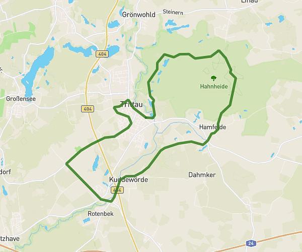
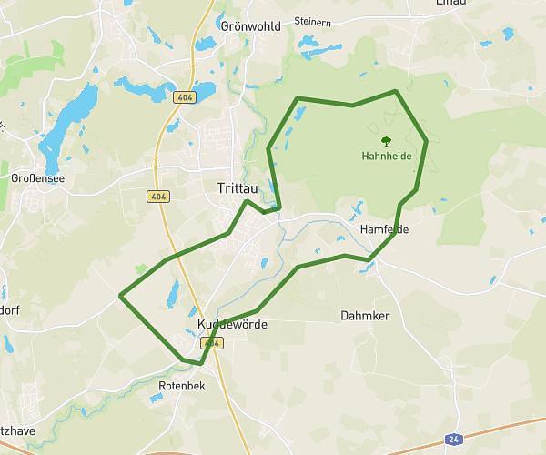
This running route covers 12.222mi starting from Groß Schenkenberg, Schleswig-Holstein. The run is a loop trail and returns to the trailhead. This run is rated as strenuous, expect about 2h10m to complete it. The route has an elevation gain of 371ft and an elevation loss of 374ft.
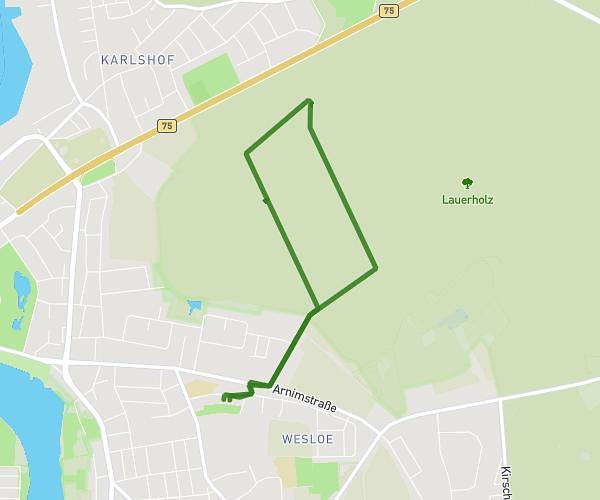
HM_GS
Route details
5.6mph
Speed
1497 kcal
Calories burned
Loop trail
Route type
-10ft
Min altitude
115ft
Max altitude
Route profile
371ft
Elevation gain
374ft
Elevation loss
-10ft
Min altitude
115ft
Max altitude
How to get there
Trailhead: Bliestorfer Weg 5, 23860 Groß Schenkenberg, Germany
GPS coordinates of the trailhead: 53.794246, 10.577201 / 53°47'39'' N, 10°34'37'' E