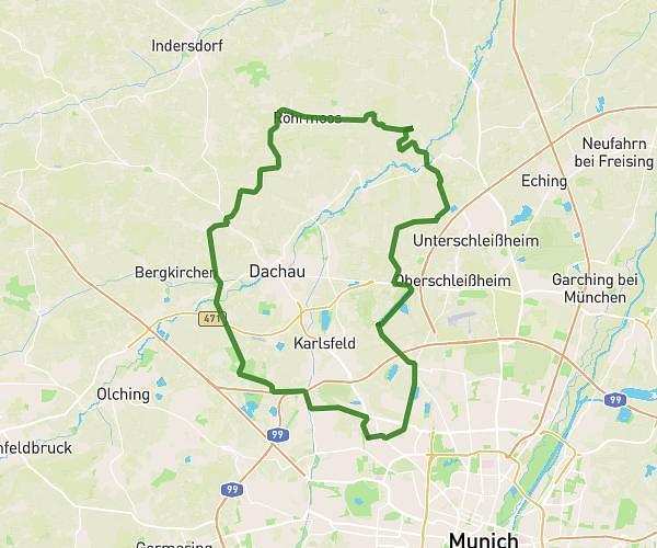
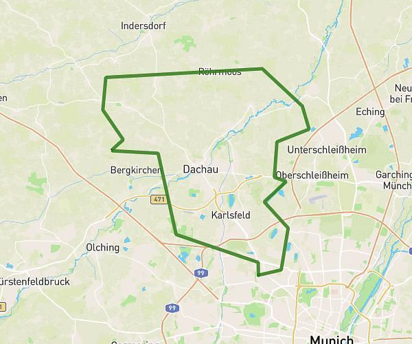
This cycling route covers 12.401mi starting from München, Bavaria. The ride does not return to the trailhead and ends near Ratoldstraße 58, 80995 München, Germany. This route is rated as moderate, plan for about 59m52s to complete it. The route has an elevation gain of 430ft and an elevation loss of 427ft.
Tour Muc Nord 1
Route details
528 kcal
Calories burned
1.3%
Avg grade
Point to point
Route type
1568ft
Min altitude
1650ft
Max altitude
Route profile
430ft
Elevation gain
427ft
Elevation loss
1568ft
Min altitude
1650ft
Max altitude
How to get there
Trailhead: Josef-Frankl-Straße 1, 80995 München, Germany
GPS coordinates of the trailhead: 48.213655, 11.540243 / 48°12'49'' N, 11°32'24'' E