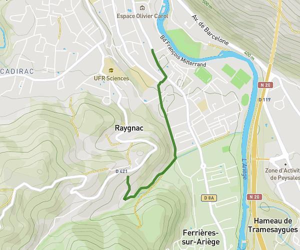
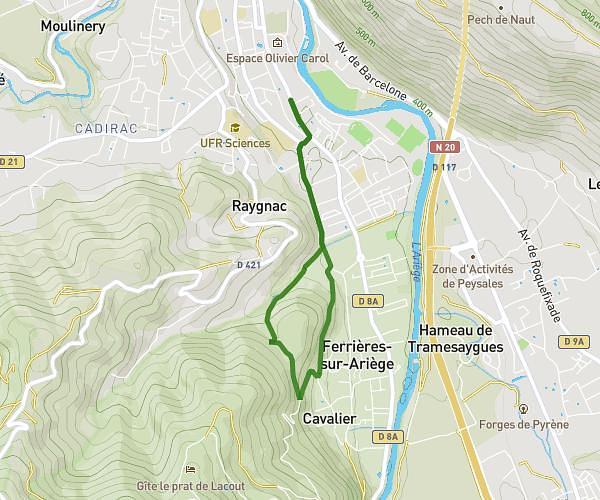
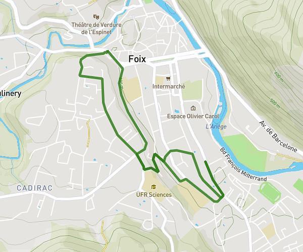
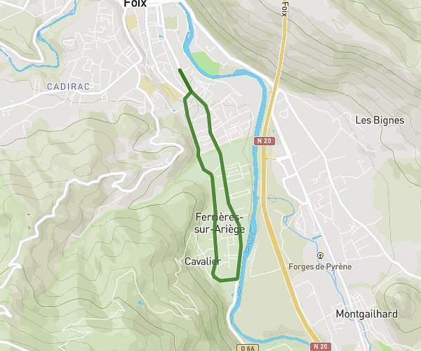
This running route covers 10.589mi starting from Montseron, Ariège. The run is a loop trail and returns to the trailhead. This run is rated as hard, expect about 2h to complete it. The route has an elevation gain of 1175ft and an elevation loss of 1178ft.
Course after grand buffet
Route details
5.29mph
Speed
1372 kcal
Calories burned
Loop trail
Route type
1171ft
Min altitude
1709ft
Max altitude
Route profile
1175ft
Elevation gain
1178ft
Elevation loss
1171ft
Min altitude
1709ft
Max altitude
How to get there
Trailhead: D 315, 09240 Montseron, France
GPS coordinates of the trailhead: 43.01809, 1.32426 / 43°1'5'' N, 1°19'27'' E