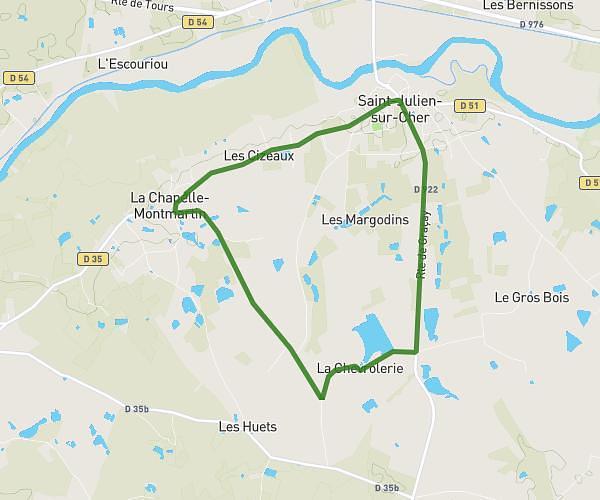
This running route covers 3.168mi starting from Châtres-sur-Cher, Loir-et-Cher. The run is a loop trail and returns to the trailhead. This run is rated as easy, expect about 33m to complete it. The route has an elevation gain of 128ft and an elevation loss of 128ft.
Chatres thenioux
Route details
5.76mph
Speed
377 kcal
Calories burned
Loop trail
Route type
292ft
Min altitude
328ft
Max altitude
Route profile
128ft
Elevation gain
128ft
Elevation loss
292ft
Min altitude
328ft
Max altitude
How to get there
Trailhead: Rue Du Bail, 41320 Châtres-sur-Cher
GPS coordinates of the trailhead: 47.26377, 1.90787 / 47°15'49'' N, 1°54'28'' E