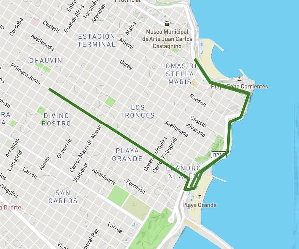
This running route covers 4.676mi starting from Mar del Plata, Buenos Aires Province. The run is a loop trail and returns to the trailhead. This run is rated as easy, expect about 55m to complete it. The route has an elevation gain of 1030ft and an elevation loss of 1037ft.
1st run
Route details
5.1mph
Speed
629 kcal
Calories burned
Loop trail
Route type
0ft
Min altitude
177ft
Max altitude
Route profile
1030ft
Elevation gain
1037ft
Elevation loss
0ft
Min altitude
177ft
Max altitude
How to get there
Trailhead: Arenales 3402, Mar del Plata, Buenos Aires Province, B7602, Argentina
GPS coordinates of the trailhead: -38.016882, -57.55117 / 38°1'0'' S, 57°33'4'' W