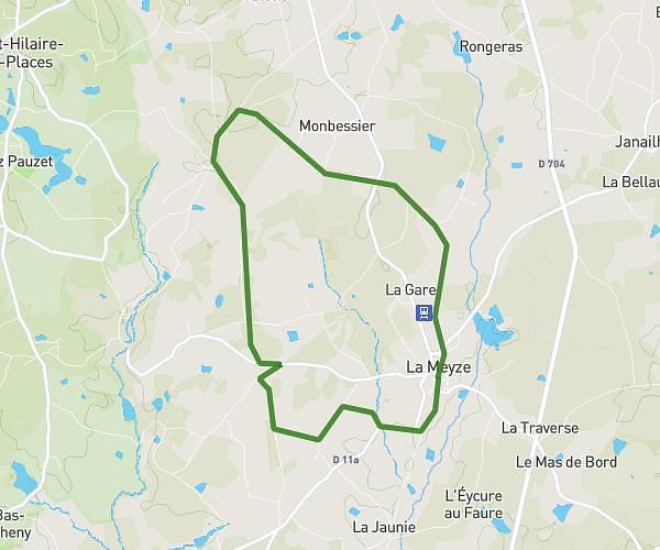
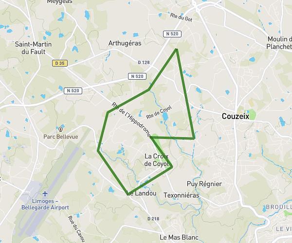
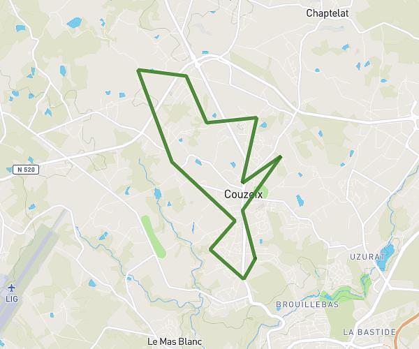
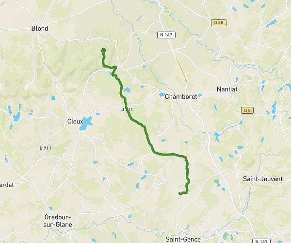
This running route covers 9.373mi starting from Aixe-sur-Vienne, Haute-Vienne. The run is a loop trail and returns to the trailhead. This run is rated as hard, expect about 1h22m to complete it. The route has an elevation gain of 1047ft and an elevation loss of 1047ft.
Foulées aixoises 15km
Route details
6.84mph
Speed
941 kcal
Calories burned
Loop trail
Route type
686ft
Min altitude
981ft
Max altitude
Route profile
1047ft
Elevation gain
1047ft
Elevation loss
686ft
Min altitude
981ft
Max altitude
How to get there
Trailhead: Chemin De La Clé Du Ciel, 87700 Aixe-sur-Vienne, France
GPS coordinates of the trailhead: 45.7912, 1.13195 / 45°47'28'' N, 1°7'55'' E