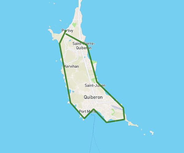
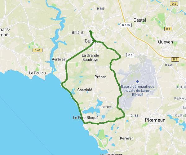
This cycling route covers 12.098mi starting from Brandérion, Morbihan. The ride is a loop trail and returns to the trailhead. This route is rated as strenuous, plan for about 1h13m to complete it. The route has an elevation gain of 863ft and an elevation loss of 863ft.
20km
Route details
650 kcal
Calories burned
2.7%
Avg grade
Loop trail
Route type
52ft
Min altitude
272ft
Max altitude
Route profile
863ft
Elevation gain
863ft
Elevation loss
52ft
Min altitude
272ft
Max altitude
How to get there
Trailhead: 20 Rue Des Vanniers, 56700 Brandérion, France
GPS coordinates of the trailhead: 47.793245, -3.190887 / 47°47'35'' N, 3°11'27'' W