MapPlanner
13.863mi
Distance
1h50s
Duration
13.67mph
Speed
+187ft
Elevation gain
-177ft
Elevation loss
Easy
Level

Guidel terre

Route details

534 kcal
Calories burned
0.5%
Avg grade
Loop trail
Route type
16ft
Min altitude
171ft
Max altitude

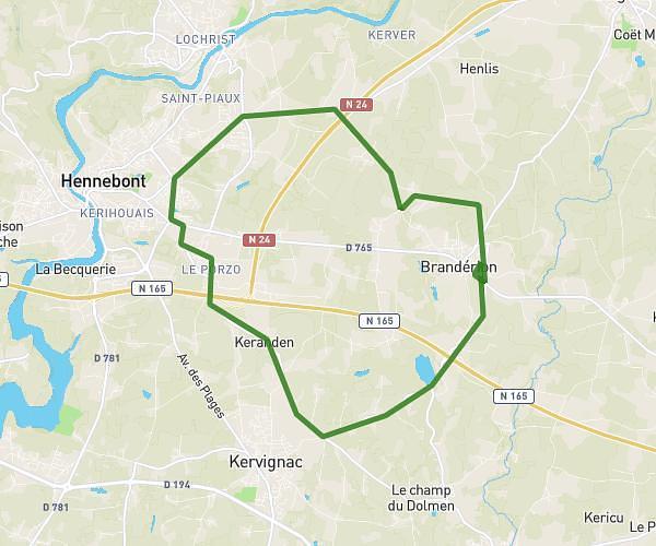
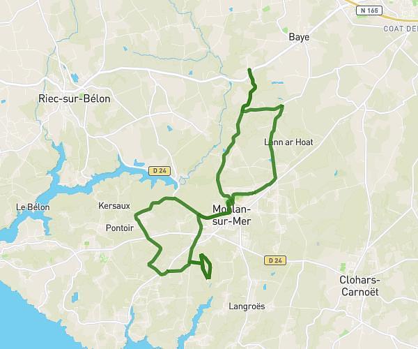
This cycling route covers 13.863mi starting from Guidel, Morbihan. The ride is a loop trail and returns to the trailhead. This route is rated as easy, plan for about 1h50s to complete it. The route has an elevation gain of 187ft and an elevation loss of 177ft.

Description of the route by the creator

Guidel-Coatcof-guidel

(Description automatically translated)

Route profile

187ft
Elevation gain
177ft
Elevation loss
16ft
Min altitude
171ft
Max altitude

How to get there

Trailhead: 25 Résidence Laouanicq, 56520 Guidel, France

GPS coordinates of the trailhead: 47.79531, -3.49112 / 47°47'43'' N, 3°29'28'' W

Caution: May Cross Private Property

This route may pass through or near private property. Always respect posted signs, obtain permission where required, and follow local trespassing laws. MapPlanner does not guarantee public access along any route.

Safety Notice

Trail and road conditions may change without notice due to weather, construction, or other factors. Always verify current conditions before heading out. You are responsible for your own safety — follow local signage, obey traffic laws, and use your best judgment on the trail.