MapPlanner
15.321mi
Distance
1h32m
Duration
9.99mph
Speed
+85ft
Elevation gain
-95ft
Elevation loss
Easy
Level

Moelan

Route details

806 kcal
Calories burned
0.2%
Avg grade
Loop trail
Route type
138ft
Min altitude
194ft
Max altitude

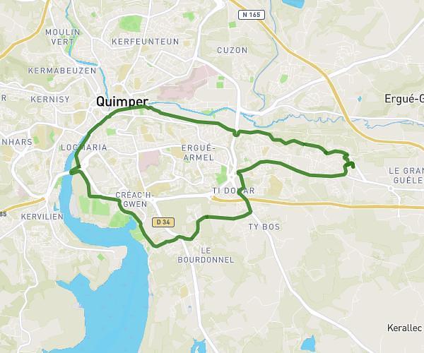
This cycling route covers 15.321mi starting from Baye, Finistère. The ride is a loop trail and returns to the trailhead. This route is rated as easy, plan for about 1h32m to complete it. The route has an elevation gain of 85ft and an elevation loss of 95ft.
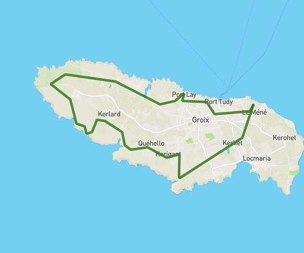
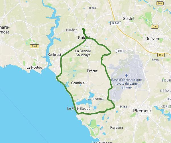
Route profile

85ft
Elevation gain
95ft
Elevation loss
138ft
Min altitude
194ft
Max altitude

How to get there

Trailhead: 2 C 3, 29300 Baye, France

GPS coordinates of the trailhead: 47.85012, -3.62429 / 47°51'0'' N, 3°37'27'' W

Caution: May Cross Private Property

This route may pass through or near private property. Always respect posted signs, obtain permission where required, and follow local trespassing laws. MapPlanner does not guarantee public access along any route.

Safety Notice

Trail and road conditions may change without notice due to weather, construction, or other factors. Always verify current conditions before heading out. You are responsible for your own safety — follow local signage, obey traffic laws, and use your best judgment on the trail.