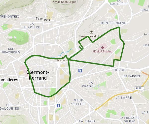
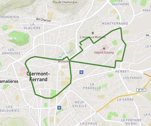
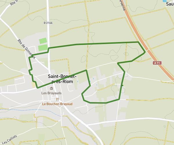
This running route covers 5.853mi starting from Châtel-Guyon, Puy-de-Dôme. The run is a loop trail and returns to the trailhead. This run is rated as moderate, expect about 1h25m to complete it. The route has an elevation gain of 495ft and an elevation loss of 495ft.
Chatel 10km
Route details
4.13mph
Speed
972 kcal
Calories burned
Loop trail
Route type
1217ft
Min altitude
1516ft
Max altitude
Route profile
495ft
Elevation gain
495ft
Elevation loss
1217ft
Min altitude
1516ft
Max altitude
How to get there
Trailhead: 2 Rue Alfred Punett, 63140 Châtel-Guyon, France
GPS coordinates of the trailhead: 45.91871, 3.06396 / 45°55'7'' N, 3°3'50'' E