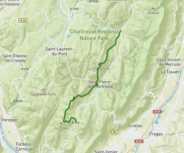
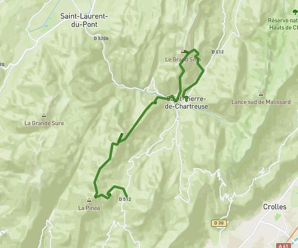
This running route covers 13.185mi starting from Vizille, Isère. The run is a loop trail and returns to the trailhead. This run is rated as strenuous, expect about 2h3m to complete it. The route has an elevation gain of 840ft and an elevation loss of 830ft.
Semi parc vizille
Route details
6.39mph
Speed
1414 kcal
Calories burned
Loop trail
Route type
935ft
Min altitude
991ft
Max altitude
Route profile
840ft
Elevation gain
830ft
Elevation loss
935ft
Min altitude
991ft
Max altitude
How to get there
Trailhead: 111 Rue Émile Cros, 38220 Vizille, France
GPS coordinates of the trailhead: 45.07405, 5.77351 / 45°4'26'' N, 5°46'24'' E