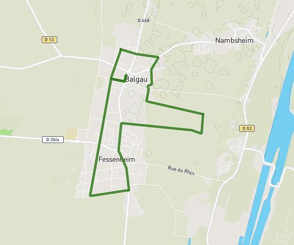
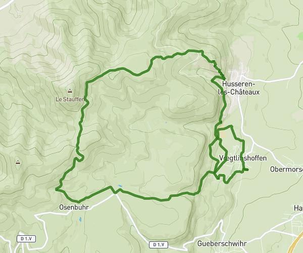
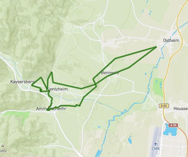
This running route covers 5.288mi starting from Colmar, Haut-Rhin. The run is a loop trail and returns to the trailhead. This run is rated as easy, expect about 56m44s to complete it. The route has an elevation gain of 177ft and an elevation loss of 177ft.
Parcours Papa
Route details
5.59mph
Speed
649 kcal
Calories burned
Loop trail
Route type
594ft
Min altitude
623ft
Max altitude
Route profile
177ft
Elevation gain
177ft
Elevation loss
594ft
Min altitude
623ft
Max altitude
How to get there
Trailhead: 3 Rue Mogg, 68000 Colmar, France
GPS coordinates of the trailhead: 48.087041, 7.363904 / 48°5'13'' N, 7°21'50'' E