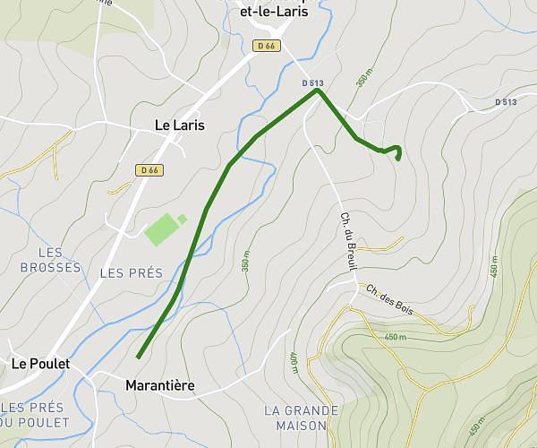
This walking route covers 3.668mi starting from Thodure, Isère. The walk is a loop trail and returns to the trailhead. This walk is rated as moderate, plan for about 1h16m to complete it. The route has an elevation gain of 177ft and an elevation loss of 184ft.
Autour de l’étang
Route details
20:43/mi
Pace
310 kcal
Calories burned
Loop trail
Route type
1211ft
Min altitude
1289ft
Max altitude
Route profile
177ft
Elevation gain
184ft
Elevation loss
1211ft
Min altitude
1289ft
Max altitude
How to get there
Trailhead: 557 Route Du Voisinal, 38260 Thodure, France
GPS coordinates of the trailhead: 45.3083, 5.16892 / 45°18'29'' N, 5°10'8'' E