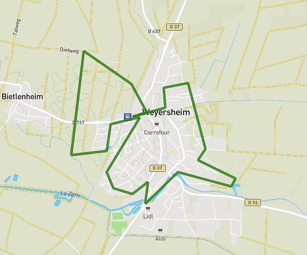
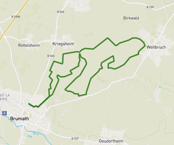
This running route covers 7.519mi starting from Brumath, Bas-Rhin. The run does not return to the trailhead and ends near 36 Rue De L'industrie, 67170 Brumath, France. This run is rated as hard, expect about 1h13m to complete it. The route has an elevation gain of 79ft and an elevation loss of 66ft.
12km brumath
Route details
6.18mph
Speed
835 kcal
Calories burned
Point to point
Route type
502ft
Min altitude
568ft
Max altitude
Route profile
79ft
Elevation gain
66ft
Elevation loss
502ft
Min altitude
568ft
Max altitude
How to get there
Trailhead: 1 Rue Des Frères Lumière, 67170 Brumath, France
GPS coordinates of the trailhead: 48.74323, 7.69107 / 48°44'35'' N, 7°41'27'' E