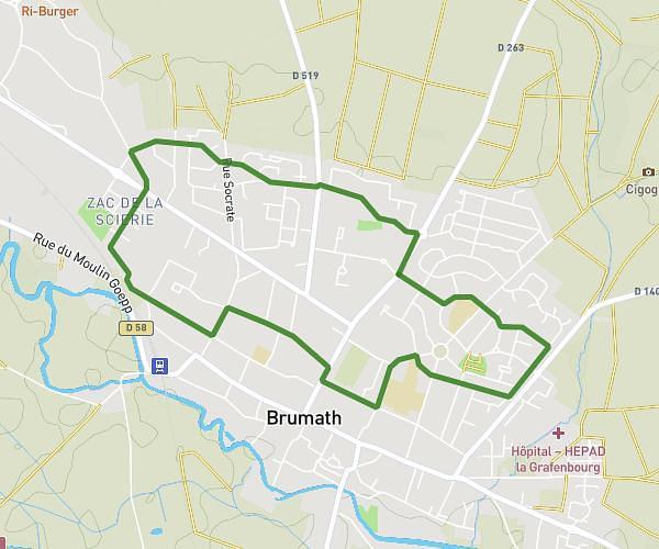
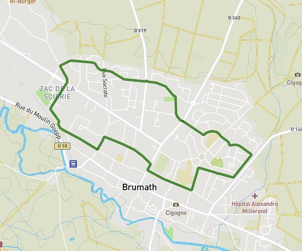
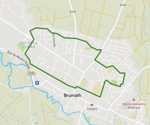
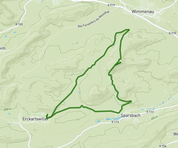
This running route covers 26.969mi starting from Hochfelden, Bas-Rhin. The run is a loop trail and returns to the trailhead. This run is rated as strenuous, expect about 4h to complete it. The route has an elevation gain of 1309ft and an elevation loss of 1299ft.
Marathon Hochfelden
Route details
6.74mph
Speed
2744 kcal
Calories burned
Loop trail
Route type
479ft
Min altitude
810ft
Max altitude
Route profile
1309ft
Elevation gain
1299ft
Elevation loss
479ft
Min altitude
810ft
Max altitude
How to get there
Trailhead: Rue Curie, 67270 Hochfelden
GPS coordinates of the trailhead: 48.76093, 7.57284 / 48°45'39'' N, 7°34'22'' E