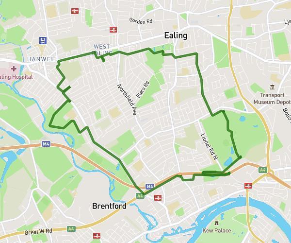
This cycling route covers 4.46mi starting from Kings Langley, England. The ride does not return to the trailhead and ends near Toms Lane, WD4 8NJ Kings Langley. This route is rated as easy, plan for about 27m to complete it. The route has an elevation gain of 177ft and an elevation loss of 26ft.
Work
Route details
239 kcal
Calories burned
0.9%
Avg grade
Point to point
Route type
240ft
Min altitude
390ft
Max altitude
Route profile
177ft
Elevation gain
26ft
Elevation loss
240ft
Min altitude
390ft
Max altitude
How to get there
Trailhead: Water Lane, WD4 8ER Kings Langley
GPS coordinates of the trailhead: 51.71346, -0.44392 / 51°42'48'' N, 0°26'38'' W