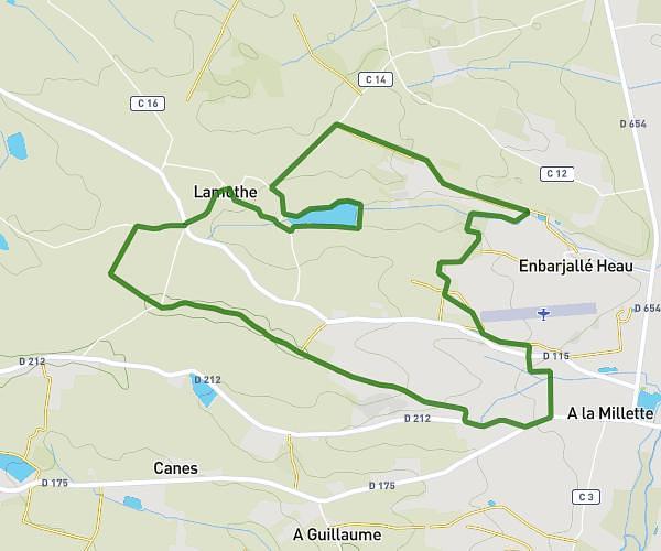
This walking route covers 5.845mi starting from Fleurance, Gers. The walk is a loop trail and returns to the trailhead. This walk is rated as hard, plan for about 1h2m to complete it. The route has an elevation gain of 190ft and an elevation loss of 194ft.
Chemin Piot
Route details
10:44/mi
Pace
256 kcal
Calories burned
Loop trail
Route type
299ft
Min altitude
358ft
Max altitude
Route profile
190ft
Elevation gain
194ft
Elevation loss
299ft
Min altitude
358ft
Max altitude
How to get there
Trailhead: 113 Rue Pasteur, 32500 Fleurance, France
GPS coordinates of the trailhead: 43.850252, 0.663905 / 43°51'0'' N, 0°39'50'' E