MapPlanner
8.283mi
Distance
1h19m
Duration
9:39/mi
Pace
Hard
Level

13km

Route details

6.21mph
Speed
914 kcal
Calories burned
Loop trail
Route type
246ft
Min altitude
404ft
Max altitude

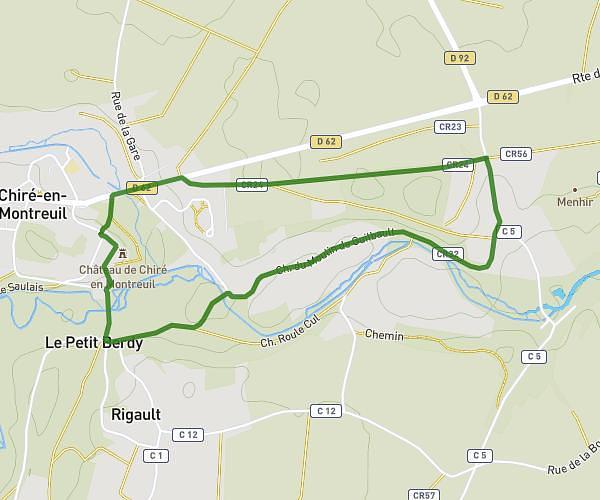
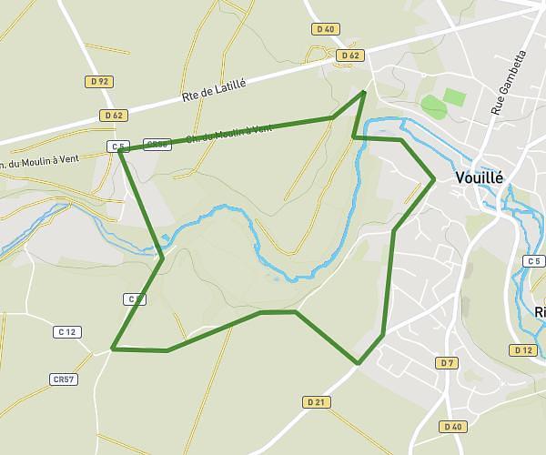
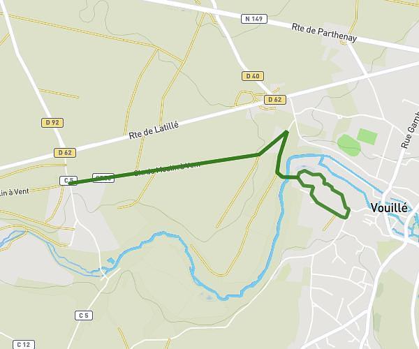
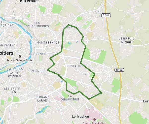
This running route covers 8.283mi starting from Poitiers, Vienne. The run is a loop trail and returns to the trailhead. This run is rated as hard, expect about 1h19m to complete it. The route has an elevation gain of 610ft and an elevation loss of 610ft.

Route profile

610ft
Elevation gain
610ft
Elevation loss
246ft
Min altitude
404ft
Max altitude

How to get there

Trailhead: Rue Guillaume Bouchet, 86000 Poitiers

GPS coordinates of the trailhead: 46.56068, 0.3133 / 46°33'38'' N, 0°18'47'' E

Caution: May Cross Private Property

This route may pass through or near private property. Always respect posted signs, obtain permission where required, and follow local trespassing laws. MapPlanner does not guarantee public access along any route.

Safety Notice

Trail and road conditions may change without notice due to weather, construction, or other factors. Always verify current conditions before heading out. You are responsible for your own safety — follow local signage, obey traffic laws, and use your best judgment on the trail.