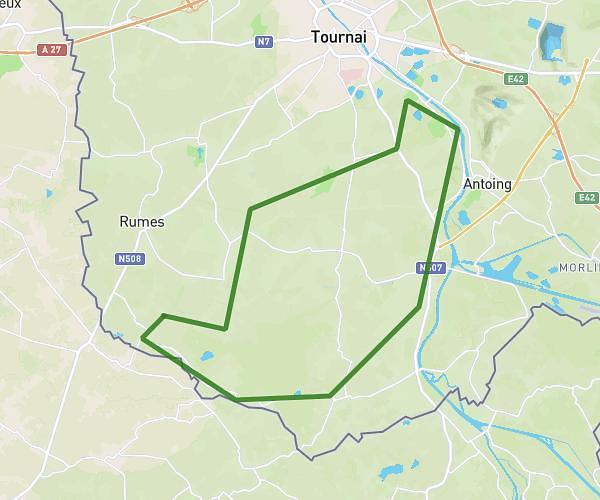
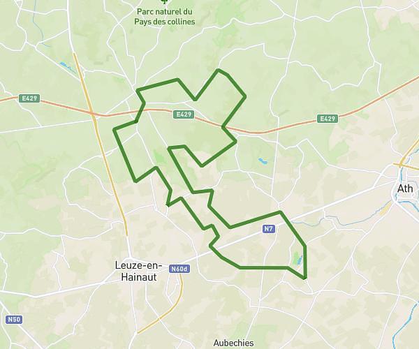
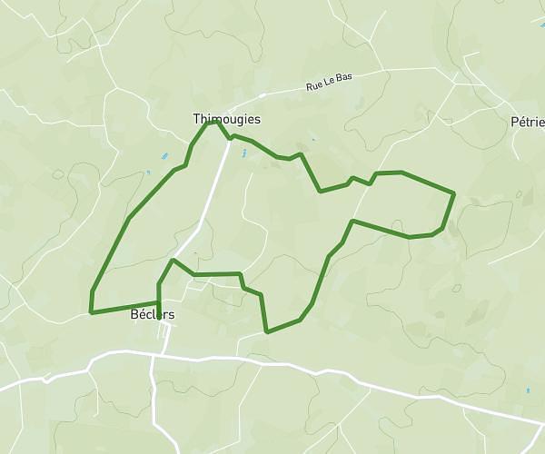
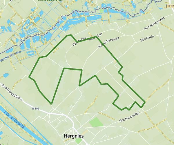
This cycling route covers 9.867mi starting from Frasnes-lez-Anvaing, Hainaut. The ride is a loop trail and returns to the trailhead. This route is rated as easy, plan for about 1h1m to complete it. The route has an elevation gain of 72ft and an elevation loss of 72ft.
Ttg
Route details
535 kcal
Calories burned
0.3%
Avg grade
Loop trail
Route type
108ft
Min altitude
161ft
Max altitude
Route profile
72ft
Elevation gain
72ft
Elevation loss
108ft
Min altitude
161ft
Max altitude
How to get there
Trailhead: Pavé Des Pélerins, 7911 Frasnes-lez-Anvaing
GPS coordinates of the trailhead: 50.64749, 3.57218 / 50°38'50'' N, 3°34'19'' E