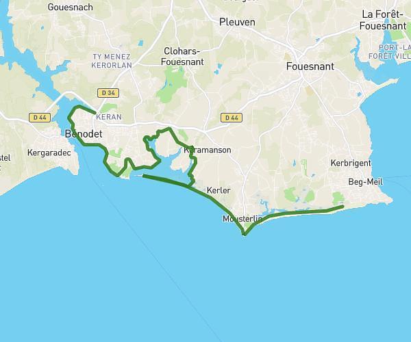
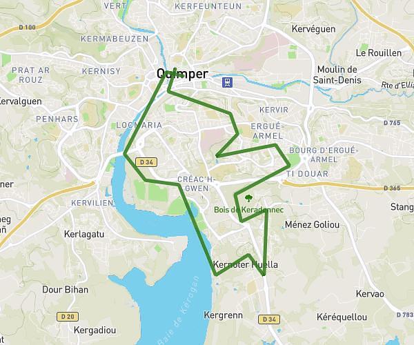
This running route covers 6.518mi starting from Douarnenez, Finistère. The run does not return to the trailhead and ends near 115 Rue Louis Pasteur, 29100 Douarnenez, France. This run is rated as moderate, expect about 40m50s to complete it. The route has an elevation gain of 108ft and an elevation loss of 105ft.
Entraînement 10km
Route details
9.58mph
Speed
467 kcal
Calories burned
Point to point
Route type
20ft
Min altitude
92ft
Max altitude
Route profile
108ft
Elevation gain
105ft
Elevation loss
20ft
Min altitude
92ft
Max altitude
How to get there
Trailhead: 26 Rue Joséphine Pencalet, 29100 Douarnenez, France
GPS coordinates of the trailhead: 48.07438, -4.33211 / 48°4'27'' N, 4°19'55'' W