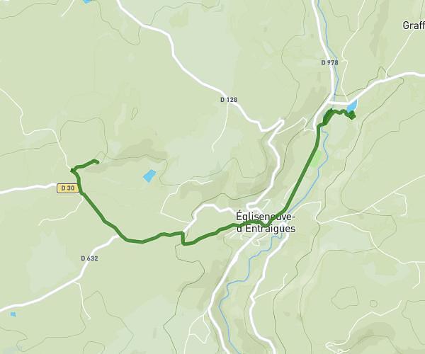
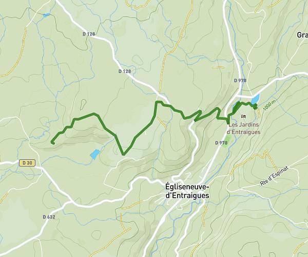
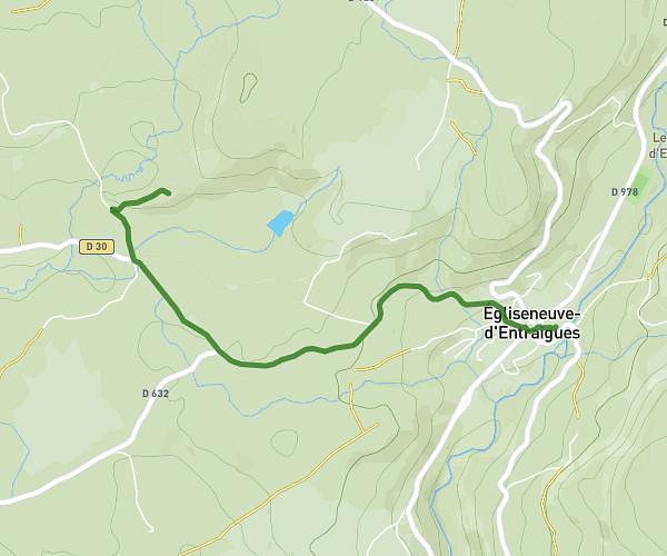
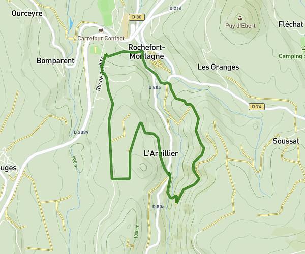
This walking route covers 4.856mi starting from Chambon-sur-Lac, Puy-de-Dôme. The walk is a loop trail and returns to the trailhead. This walk is rated as moderate, plan for about 2h36m to complete it. The route has an elevation gain of 1086ft and an elevation loss of 1089ft.
Chambon dent du marais
Route details
32:11/mi
Pace
638 kcal
Calories burned
Loop trail
Route type
2730ft
Min altitude
3497ft
Max altitude
Route profile
1086ft
Elevation gain
1089ft
Elevation loss
2730ft
Min altitude
3497ft
Max altitude
How to get there
Trailhead: 2 Allée Des Pêcheurs, 63790 Chambon-sur-Lac, France
GPS coordinates of the trailhead: 45.574598, 2.91661 / 45°34'28'' N, 2°54'59'' E