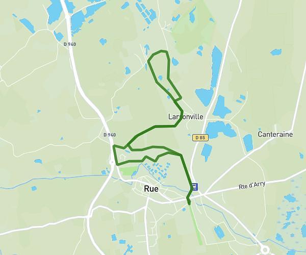
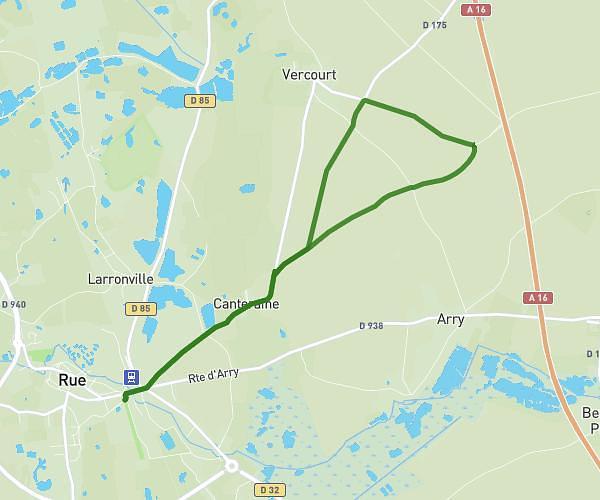
This running route covers 6.396mi starting from Le Touquet-Paris-Plage, Pas-de-Calais. The run is a loop trail and returns to the trailhead. This run is rated as moderate, expect about 4h2m to complete it. The route has an elevation gain of 194ft and an elevation loss of 203ft.
La boucle queterard
Route details
1.58mph
Speed
2767 kcal
Calories burned
Loop trail
Route type
3ft
Min altitude
56ft
Max altitude
Route profile
194ft
Elevation gain
203ft
Elevation loss
3ft
Min altitude
56ft
Max altitude
How to get there
Trailhead: 71 Boulevard Du Docteur Jules Pouget, 62520 Le Touquet-Paris-Plage, France
GPS coordinates of the trailhead: 50.52421, 1.58158 / 50°31'27'' N, 1°34'53'' E