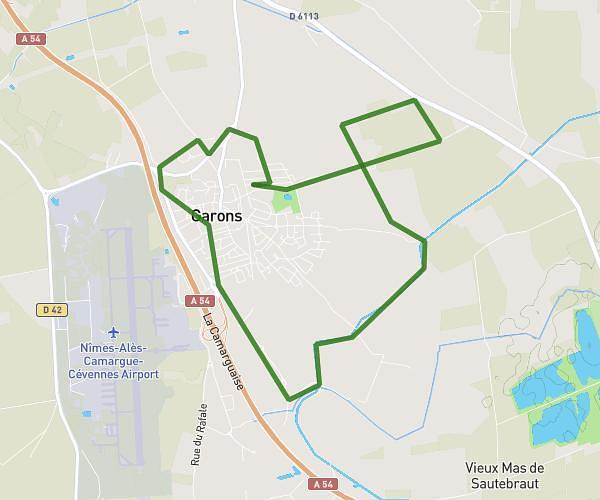
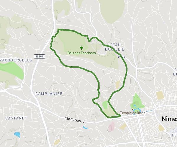
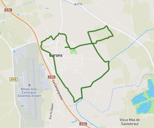
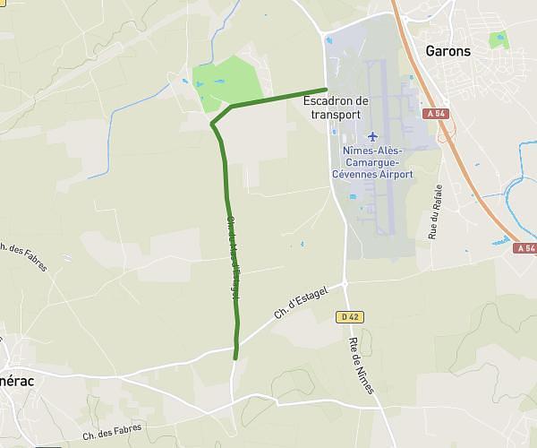
This running route covers 1.353mi starting from Nîmes, Gard. The run does not return to the trailhead and ends near 18 Boulevard Natoire, 30000 Nîmes, France. This run is rated as easy, expect about 14m30s to complete it. The route has an elevation gain of 49ft and an elevation loss of 121ft.
Nîmes à vélo
Route details
5.6mph
Speed
166 kcal
Calories burned
Point to point
Route type
128ft
Min altitude
200ft
Max altitude
Route profile
49ft
Elevation gain
121ft
Elevation loss
128ft
Min altitude
200ft
Max altitude
How to get there
Trailhead: 12 Rue Du Docteur Georges Salan, 30000 Nîmes, France
GPS coordinates of the trailhead: 43.841213, 4.356629 / 43°50'28'' N, 4°21'23'' E