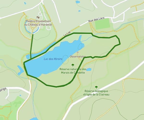
This running route covers 7.544mi starting from Neufchâtel-Hardelot, Pas-de-Calais. The run is a loop trail and returns to the trailhead. This run is rated as hard, expect about 1h42s to complete it. The route has an elevation gain of 302ft and an elevation loss of 302ft.
Hardelot
Route details
7.46mph
Speed
694 kcal
Calories burned
Loop trail
Route type
7ft
Min altitude
180ft
Max altitude
Route profile
302ft
Elevation gain
302ft
Elevation loss
7ft
Min altitude
180ft
Max altitude
How to get there
Trailhead: Avenue De La Concorde, 62152 Neufchâtel-Hardelot
GPS coordinates of the trailhead: 50.63261, 1.5809 / 50°37'57'' N, 1°34'51'' E