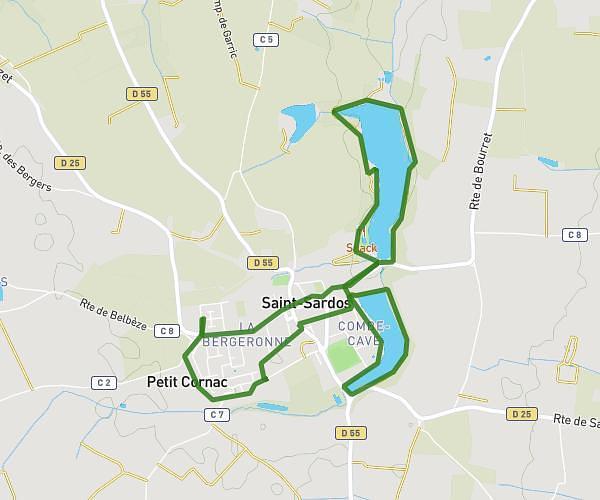
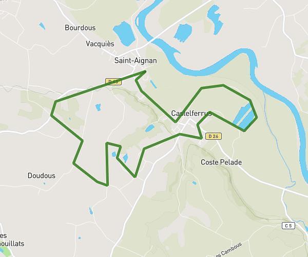
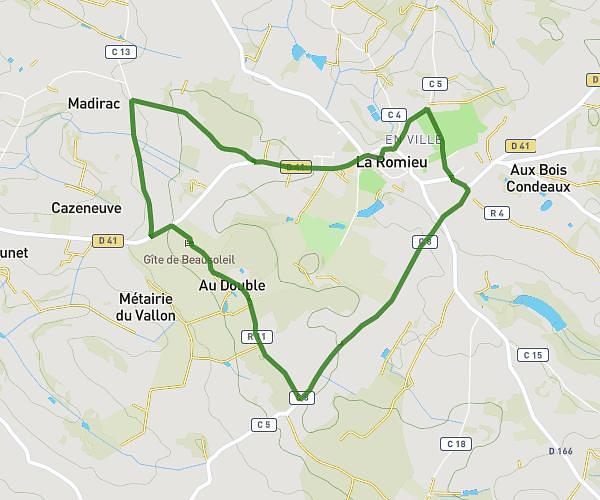
This running route covers 8.843mi starting from Saint-Clar, Gers. The run is a loop trail and returns to the trailhead. This run is rated as hard, expect about 1h34m to complete it. The route has an elevation gain of 614ft and an elevation loss of 614ft.
Mon itinéraire
Route details
5.59mph
Speed
1086 kcal
Calories burned
Loop trail
Route type
335ft
Min altitude
650ft
Max altitude
Route profile
614ft
Elevation gain
614ft
Elevation loss
335ft
Min altitude
650ft
Max altitude
How to get there
Trailhead: 6 Place Simone Veil, 32380 Saint-Clar, France
GPS coordinates of the trailhead: 43.887312, 0.763458 / 43°53'14'' N, 0°45'48'' E