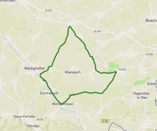
This running route covers 13.655mi starting from Roppentzwiller, Haut-Rhin. The run is a loop trail and returns to the trailhead. This run is rated as strenuous, expect about 1h59m to complete it. The route has an elevation gain of 705ft and an elevation loss of 705ft.
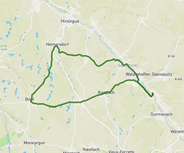
heimresdorf par feldbach
Route details
6.84mph
Speed
1370 kcal
Calories burned
Loop trail
Route type
1050ft
Min altitude
1398ft
Max altitude
Route profile
705ft
Elevation gain
705ft
Elevation loss
1050ft
Min altitude
1398ft
Max altitude
How to get there
Trailhead: 119a Rue Du Moulin, 68480 Roppentzwiller, France
GPS coordinates of the trailhead: 47.541007, 7.3298 / 47°32'27'' N, 7°19'47'' E