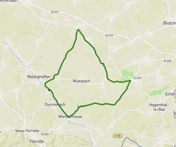
This running route covers 8.661mi starting from Roppentzwiller, Haut-Rhin. The run does not return to the trailhead and ends near Piste Cyclable Gersbach, 68480 Roppentzwiller, France. This run is rated as hard, expect about 1h12m to complete it. The route has an elevation gain of 43ft and an elevation loss of 46ft.
parcours semaine Nr 1
Route details
7.15mph
Speed
831 kcal
Calories burned
Point to point
Route type
1145ft
Min altitude
1171ft
Max altitude
Route profile
43ft
Elevation gain
46ft
Elevation loss
1145ft
Min altitude
1171ft
Max altitude
How to get there
Trailhead: 119a Rue Du Moulin, 68480 Roppentzwiller, France
GPS coordinates of the trailhead: 47.541007, 7.3298 / 47°32'27'' N, 7°19'47'' E