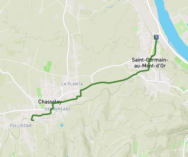
This cycling route covers 14.677mi starting from Ars-sur-Formans, Ain. The ride does not return to the trailhead and ends near 311 Chemin De La Pousse, 01390 Saint-André-de-Corcy, France. This route is rated as easy, plan for about 1h29m to complete it. The route has an elevation gain of 171ft and an elevation loss of 52ft.
ars par amberieux
Route details
781 kcal
Calories burned
0.3%
Avg grade
Point to point
Route type
827ft
Min altitude
978ft
Max altitude
Route profile
171ft
Elevation gain
52ft
Elevation loss
827ft
Min altitude
978ft
Max altitude
How to get there
Trailhead: 800 Chemin Du Château, 01480 Ars-sur-Formans, France
GPS coordinates of the trailhead: 45.98728, 4.81725 / 45°59'14'' N, 4°49'2'' E