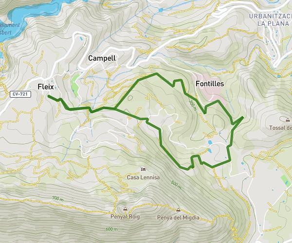
This hiking trail covers 17.766mi starting from Dénia, Alicante. The hike does not return to the trailhead and ends near Carrer Cervantes 23, 03791 La Vall de Laguar, Alicante, Spain. This hike is rated as strenuous, plan for about 7h2m to complete it. The route has an elevation gain of 2172ft and an elevation loss of 1030ft.
DENIA A BENIMAURELL
Route details
2.52mph
Speed
3072 kcal
Calories burned
3.4%
Avg grade
Point to point
Route type
13ft
Min altitude
1814ft
Max altitude
Route profile
2172ft
Elevation gain
1030ft
Elevation loss
13ft
Min altitude
1814ft
Max altitude
How to get there
Trailhead: Partida Els Negrals 17, 03700 Dénia, Alicante, Spain
GPS coordinates of the trailhead: 38.841961, 0.091406 / 38°50'31'' N, 0°5'29'' E