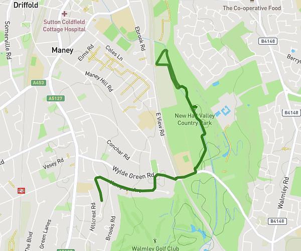
This walking route covers 2.011mi starting from Swadlincote, England. The walk is a loop trail and returns to the trailhead. This walk is rated as easy, plan for about 43m to complete it. The route has an elevation gain of 75ft and an elevation loss of 75ft.
Daily walk
Route details
21:22/mi
Pace
176 kcal
Calories burned
Loop trail
Route type
282ft
Min altitude
308ft
Max altitude
Route profile
75ft
Elevation gain
75ft
Elevation loss
282ft
Min altitude
308ft
Max altitude
How to get there
Trailhead: Top Street, DE12 7AH Swadlincote
GPS coordinates of the trailhead: 52.68318, -1.53256 / 52°40'59'' N, 1°31'57'' W