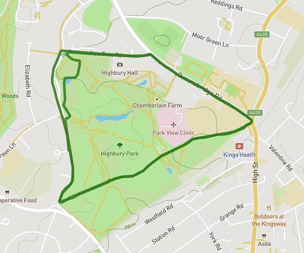
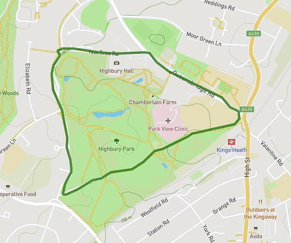
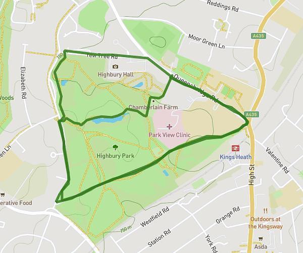
This walking route covers 3.109mi starting from Sutton Coldfield, England. The walk is a loop trail and returns to the trailhead. This walk is rated as moderate, plan for about 55m to complete it. The route has an elevation gain of 341ft and an elevation loss of 338ft.
Charli Walk - accurate
Route details
17:41/mi
Pace
225 kcal
Calories burned
Loop trail
Route type
318ft
Min altitude
486ft
Max altitude
Route profile
341ft
Elevation gain
338ft
Elevation loss
318ft
Min altitude
486ft
Max altitude
How to get there
Trailhead: 28 Hawthorn Road, Sutton Coldfield, B72 1ET, United Kingdom
GPS coordinates of the trailhead: 52.544861, -1.821403 / 52°32'41'' N, 1°49'17'' W