MapPlanner
2.937mi
Distance
1h3m
Duration
21:27/mi
Pace
Easy
Level

Run Santa Run 5km 27 May 2026

Route details

21:27/mi
Pace
257 kcal
Calories burned
Loop trail
Route type
433ft
Min altitude
512ft
Max altitude

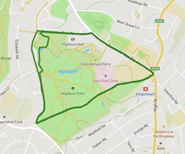
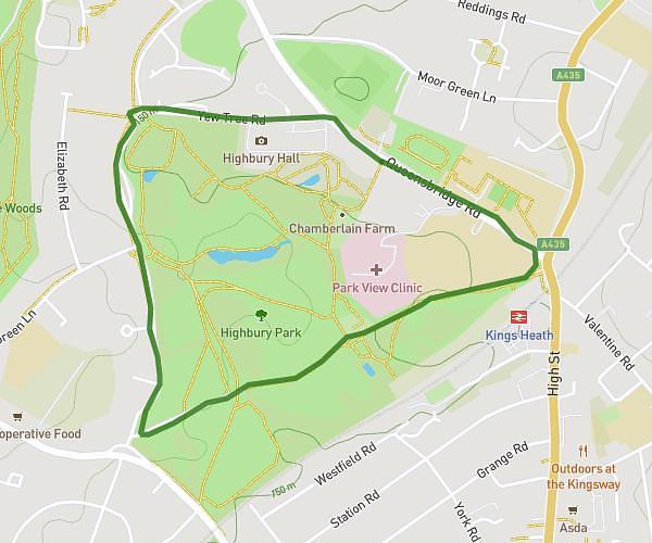
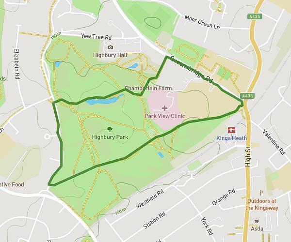
This walking route covers 2.937mi starting from Birmingham, England. The walk is a loop trail and returns to the trailhead. This walk is rated as easy, plan for about 1h3m to complete it. The route has an elevation gain of 262ft and an elevation loss of 262ft.

Description of the route by the creator

Run Santa Run 2026 4.727KM

Route profile

262ft
Elevation gain
262ft
Elevation loss
433ft
Min altitude
512ft
Max altitude

How to get there

Trailhead: 98 Queensbridge Road, Birmingham, B13 8QB, United Kingdom

GPS coordinates of the trailhead: 52.44165, -1.897652 / 52°26'29'' N, 1°53'51'' W

Caution: May Cross Private Property

This route may pass through or near private property. Always respect posted signs, obtain permission where required, and follow local trespassing laws. MapPlanner does not guarantee public access along any route.

Safety Notice

Trail and road conditions may change without notice due to weather, construction, or other factors. Always verify current conditions before heading out. You are responsible for your own safety — follow local signage, obey traffic laws, and use your best judgment on the trail.