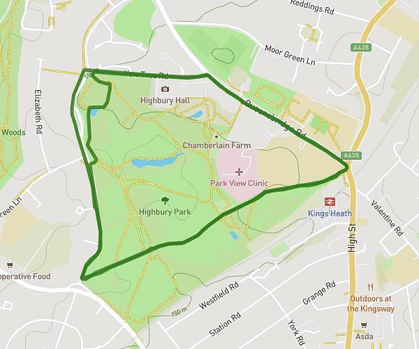
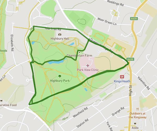
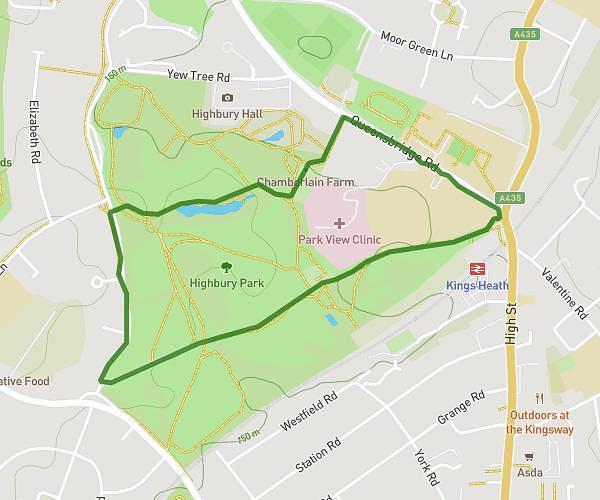
This walking route covers 1.532mi starting from Birmingham, England. The walk is a loop trail and returns to the trailhead. This walk is rated as easy, plan for about 32m52s to complete it. The route has an elevation gain of 151ft and an elevation loss of 151ft.
Run Santa Run 2.5km - alt route weather
Route details
21:27/mi
Pace
134 kcal
Calories burned
Loop trail
Route type
430ft
Min altitude
515ft
Max altitude
Route profile
151ft
Elevation gain
151ft
Elevation loss
430ft
Min altitude
515ft
Max altitude
How to get there
Trailhead: 98 Queensbridge Road, Birmingham, B13 8QB, United Kingdom
GPS coordinates of the trailhead: 52.441622, -1.89769 / 52°26'29'' N, 1°53'51'' W