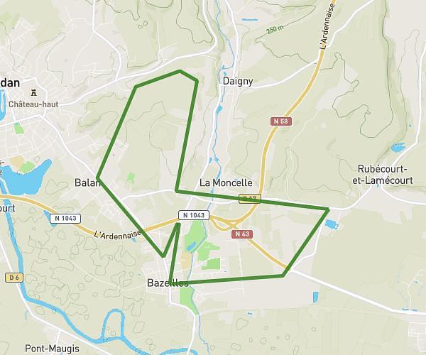
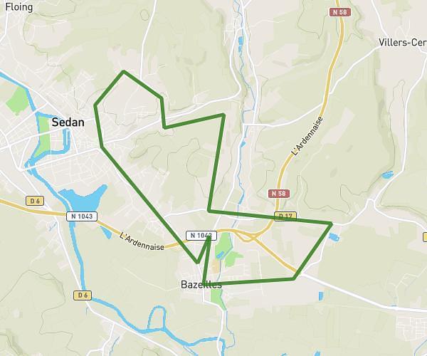
This running route covers 5.003mi starting from Margny, Ardennes. The run is a loop trail and returns to the trailhead. This run is rated as moderate, expect about 48m to complete it. The route has an elevation gain of 597ft and an elevation loss of 597ft.
Jogging margny
Route details
6.26mph
Speed
549 kcal
Calories burned
Loop trail
Route type
636ft
Min altitude
909ft
Max altitude
Route profile
597ft
Elevation gain
597ft
Elevation loss
636ft
Min altitude
909ft
Max altitude
How to get there
Trailhead: 14 Rue De La Marelle, 08370 Margny, France
GPS coordinates of the trailhead: 49.61307, 5.35121 / 49°36'47'' N, 5°21'4'' E