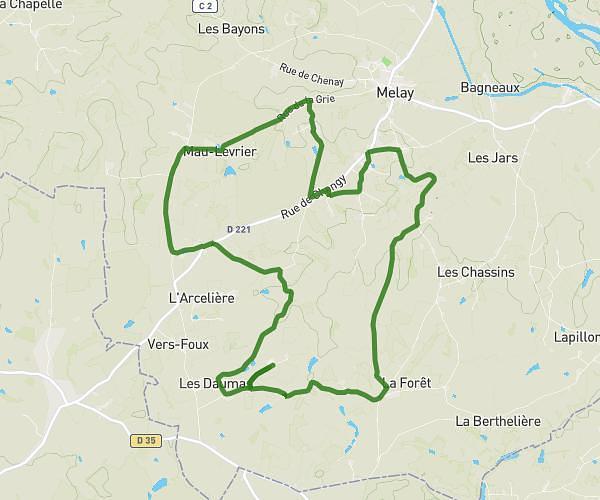
Explore this hiking route of 11.24km starting from Melay, Saône-et-Loire. The hike is a loop and returns to the starting point. This hike has no defined difficulty level, plan for about 2h14m to complete it. The route has a positive elevation gain of 189m and a negative elevation loss of 189m.
Melay 1
Route details
Route profile
189m
Elevation +
189m
Elevation -
276m
Min altitude
342m
Max altitude
How to get there
Route starting point: D 335, 71340 Melay
GPS coordinates of the starting point: 46.18389, 3.99858 / 46°11'2'' N, 3°59'54'' E
Calculate the time to reach the starting point from your location or an address