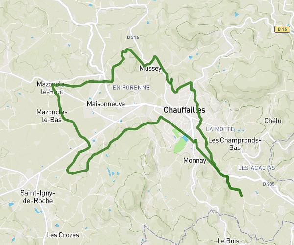
This hiking trail covers 5.732mi starting from Chassigny-sous-Dun, Saône-et-Loire. The hike is a loop trail and returns to the trailhead. This hike is rated as moderate, plan for about 1h50m to complete it. The route has an elevation gain of 571ft and an elevation loss of 571ft.
Chef pessailles
Route details
3.13mph
Speed
794 kcal
Calories burned
3.8%
Avg grade
Loop trail
Route type
1089ft
Min altitude
1362ft
Max altitude
Route profile
571ft
Elevation gain
571ft
Elevation loss
1089ft
Min altitude
1362ft
Max altitude
How to get there
Trailhead: 1205 Chemin Du Bey, 71170 Chassigny-sous-Dun, France
GPS coordinates of the trailhead: 46.24791, 4.28764 / 46°14'52'' N, 4°17'15'' E