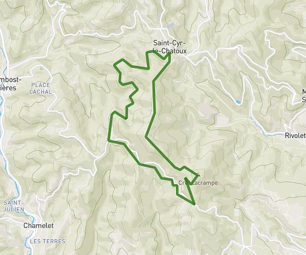
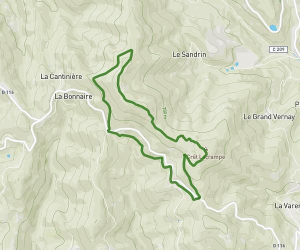
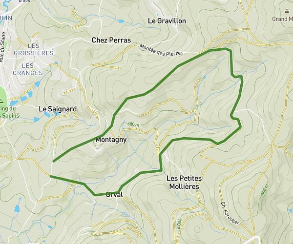
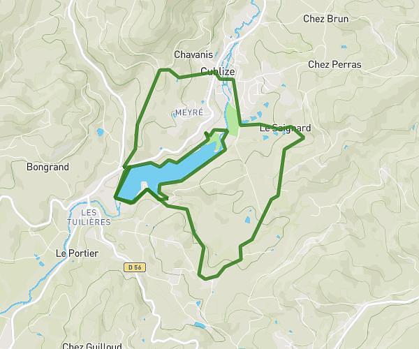
This hiking trail covers 9.838mi starting from Chauffailles, Saône-et-Loire. The hike is a loop trail and returns to the trailhead. This hike is rated as hard, plan for about 3h30m to complete it. The route has an elevation gain of 1102ft and an elevation loss of 1102ft.
15 km
Route details
2.81mph
Speed
1522 kcal
Calories burned
4.2%
Avg grade
Loop trail
Route type
1178ft
Min altitude
1467ft
Max altitude
Route profile
1102ft
Elevation gain
1102ft
Elevation loss
1178ft
Min altitude
1467ft
Max altitude
How to get there
Trailhead: 620 Route De Pirot, 71170 Chauffailles, France
GPS coordinates of the trailhead: 46.190789, 4.354482 / 46°11'26'' N, 4°21'16'' E