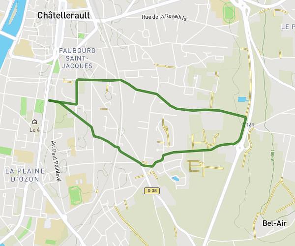
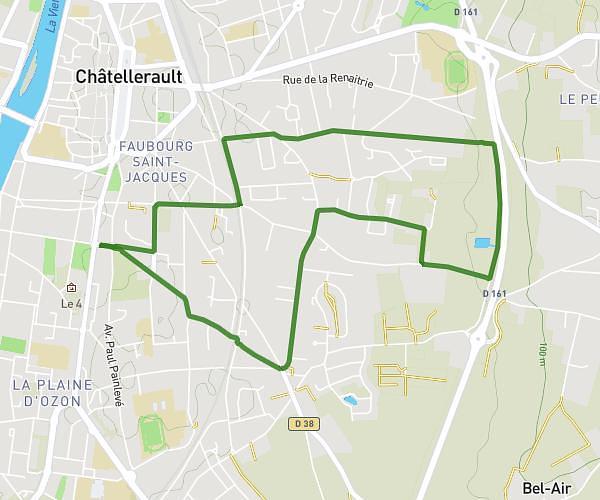
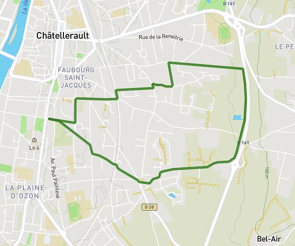
This running route covers 5.609mi starting from Jaunay-Marigny, Vienne. The run is a loop trail and returns to the trailhead. This run is rated as moderate, expect about 1h to complete it. The route has an elevation gain of 16ft and an elevation loss of 10ft.
Course JC à St Georges
Route details
5.61mph
Speed
686 kcal
Calories burned
Loop trail
Route type
203ft
Min altitude
220ft
Max altitude
Route profile
16ft
Elevation gain
10ft
Elevation loss
203ft
Min altitude
220ft
Max altitude
How to get there
Trailhead: 3 Avenue De Bordeaux, 86130 Jaunay-Marigny, France
GPS coordinates of the trailhead: 46.681756, 0.382458 / 46°40'54'' N, 0°22'56'' E