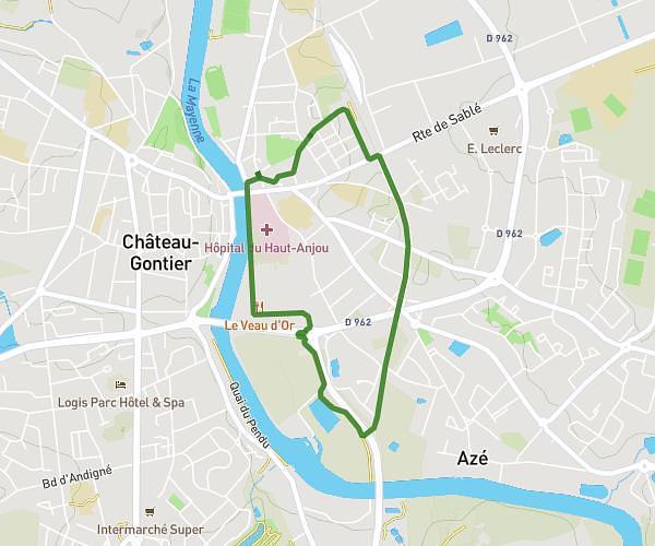
This running route covers 3.31mi starting from Quelaines-Saint-Gault, Mayenne. The run is a loop trail and returns to the trailhead. This run is rated as easy, expect about 35m30s to complete it. The route has an elevation gain of 171ft and an elevation loss of 171ft.
Quelaines
Route details
5.59mph
Speed
406 kcal
Calories burned
Loop trail
Route type
246ft
Min altitude
328ft
Max altitude
Route profile
171ft
Elevation gain
171ft
Elevation loss
246ft
Min altitude
328ft
Max altitude
How to get there
Trailhead: 5 Rue Du Pont D'avignon, 53360 Quelaines-Saint-Gault, France
GPS coordinates of the trailhead: 47.929142, -0.80487 / 47°55'44'' N, 0°48'17'' W