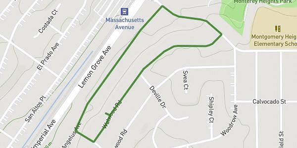
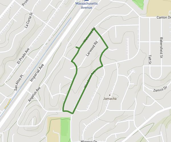
This walking route covers 1.658mi starting from Ladera Ranch, California. The walk is a loop trail and returns to the trailhead. This walk is rated as easy, plan for about 1h to complete it. The route has an elevation gain of 456ft and an elevation loss of 453ft.
Little Walk
Route details
36:10/mi
Pace
245 kcal
Calories burned
Loop trail
Route type
285ft
Min altitude
492ft
Max altitude
Route profile
456ft
Elevation gain
453ft
Elevation loss
285ft
Min altitude
492ft
Max altitude
How to get there
Trailhead: 32 Platinum Circle, Ladera Ranch, California 92694, United States
GPS coordinates of the trailhead: 33.5396, -117.64501 / 33°32'22'' N, 117°38'42'' W