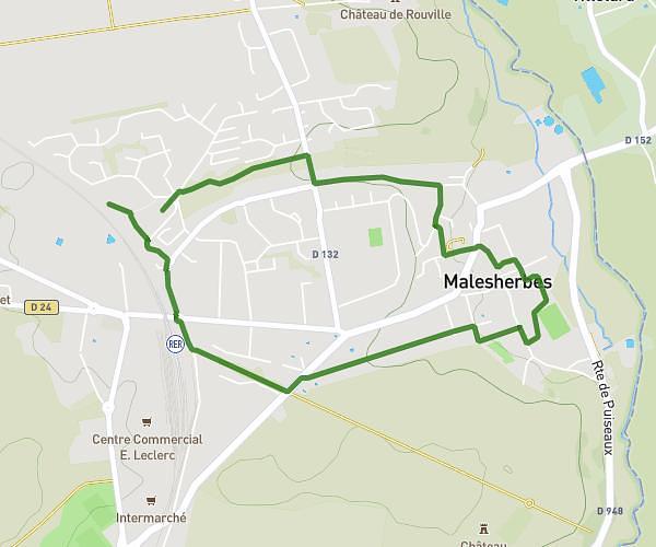
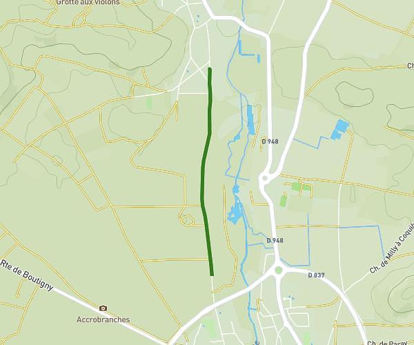
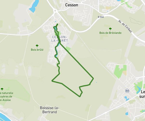
This hiking trail covers 7.483mi starting from Bois-le-Roi, Seine-et-Marne. The hike is a loop trail and returns to the trailhead. This hike is rated as moderate, plan for about 2h23m to complete it. The route has an elevation gain of 554ft and an elevation loss of 554ft.
parcours entrainement William 2
Route details
3.14mph
Speed
1024 kcal
Calories burned
2.8%
Avg grade
Loop trail
Route type
243ft
Min altitude
476ft
Max altitude
Route profile
554ft
Elevation gain
554ft
Elevation loss
243ft
Min altitude
476ft
Max altitude
How to get there
Trailhead: Avenue Paul Doumer, 77590 Bois-le-Roi
GPS coordinates of the trailhead: 48.47624, 2.69408 / 48°28'34'' N, 2°41'38'' E